us army corps of engineers logo - white castle on red background

Millwood Lake 

Contact Us

Millwood Lake Project Office
1528 Hwy 32 East
Ashdown, AR 71822
(870) 898-3343


Shoreline Management

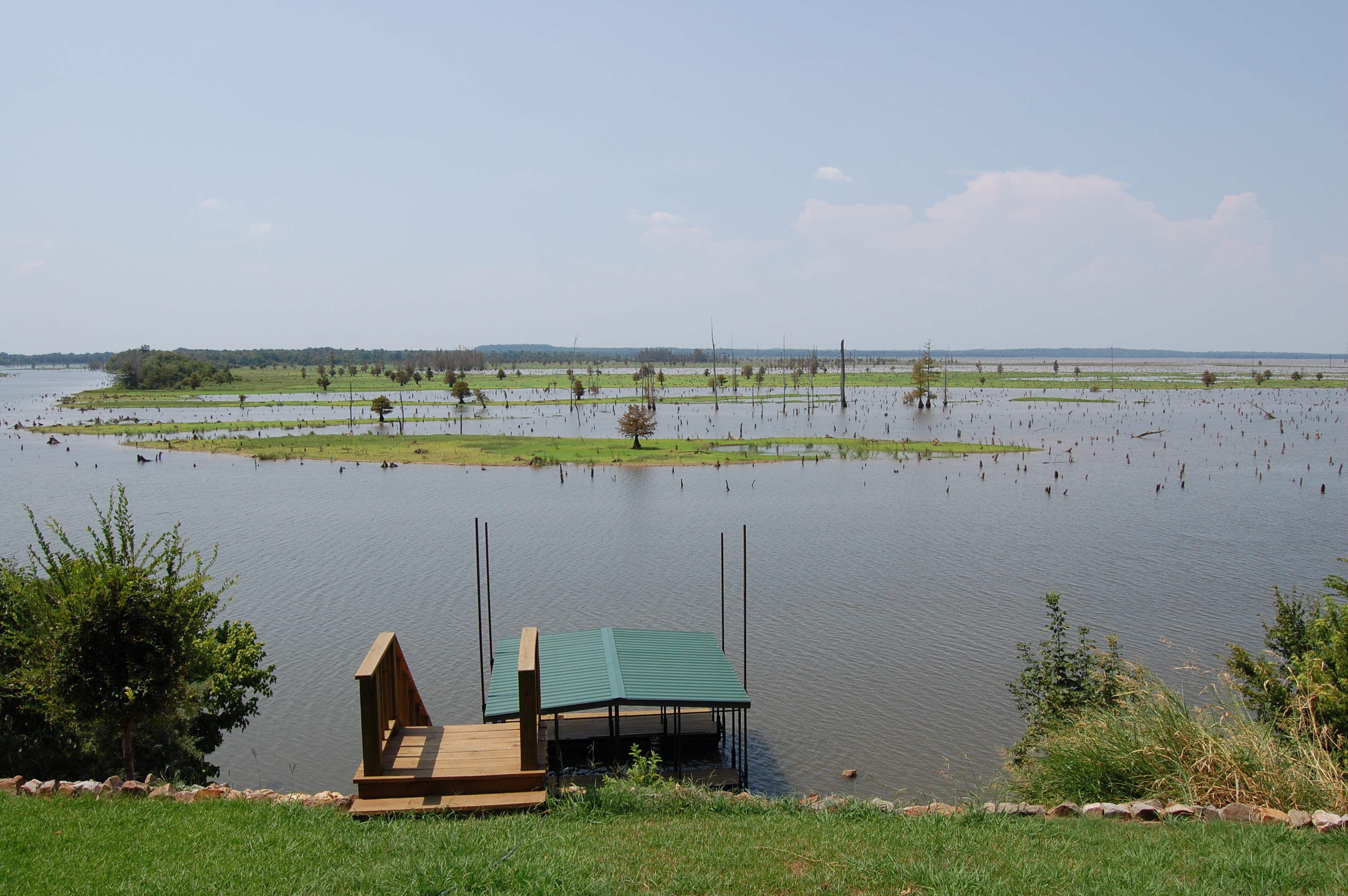
The Corps of Engineers owns approximately 6,500 acres of land surrounding Millwood Lake. The boundary line between this government land and private property is irregular and is not a set distance from the lakeshore. Most of the line around Millwood Lake has been surveyed. Survey monuments placed at ground level define it. A 5-foot red steel fence post is set about one foot from the marker as an aid to location. Trees along the boundary line are marked with a 4 inch wide red band as an additional aid to location of the line. These trees, however, are off line and indicate only that the line is nearby. Park Rangers are available to assist in locating boundary lines.

An application must be made to the Millwood Tri-Lakes Project Office for a permit before construction of boat mooring facilities, alteration of government land, or modification of vegetation on the lake shorelines and Corps of Engineers property. Boat Dock permits will only be issued in areas of the lake designated as limited development areas. These are indicated on a map located in the Millwood Tri-Lakes Project Office. Permits for paths and fire protection will not be issued in any areas allocated as public recreation areas, including their buffers, or on lands allocated as prohibited access areas. When property is bought and sold new owners must get a new shoreline use permit.

Those interested in a shoreline permit should first contact a park ranger from the Millwood Lake Project Office at 870-898-3343. 

There are 92,500 acres around Millwood Lake in flowage easement. This land is at an elevation of 290 ft. and below, where the government has acquired flowage easement interest imposing certain building restrictions and building construction controls, the interest acquired must be protected. It is essential that close surveillance be maintained over the land in order to insure that no violations of the building restrictions and controls occur. Structures for human habitation are expressly prohibited on flowage easement lands and no other type structures shall be placed on such lands without prior written approval of the District Engineer. 

All requests for permission to place any type structure on flowage easement lands must be submitted to the Operations Manager in writing. With each request, the Operations Manager will submit the following information: 

-The landowner’s written request, which will include a statement of the proposed work, and it’s purpose. 

-Detailed construction drawings of the proposed structure. 

-A sketch indicating the tract or tracts on which the structure is proposed and the location thereof. The ground elevation where the structure is to be located will be prominently shown on this map.

-Any other information or data pertinent to the case that will assist in the elevation of the request and reaching a timely decision.

Click here to see what's open at Millwood Lake!

Millwood Campgrounds

Collapse All Expand All
 Beard’s Bluff

Description: Campground is in a wooded area on the lake near the Millwood Dam and Spillway.

Location: 13 miles East of Ashdown on State Highway 32.

Facilities: 24 paved sites with water and electricity (1 with sewer), 1 with no hookups, 1 'buddy' site, shoreline campsites, flush toilets, showers, trailer dump station, boat ramp, picnicking area, bank fishing access, overlook, and outdoor wedding chapel.

Fees:
Site with no hookups - $12
Sites with water and electricity - $15 (Year-Round)

Sites with water, electricity, and sewer - $18 (Year-Round)

'Buddy' Site (2 Camp pads on site) - $21 (Year-Round)

Reservable Overlook - $25-$40 (March-October)
Reservable Outdoor Wedding Chapel - $25 (March-October)

Open: Year-Round.

Reservations: may be made by calling (877) 444-6777 or clicking here:  Make a Reservation.  Reservations are available March-October.

 Beard’s Lake

Description: Campground is downstream of the east embankment of the Millwood Dam located on the banks of Beard’s Lake.

Location: 12 miles east of Ashdown on State Highway 32, then 1.5 miles west on access road.

Facilities: 5 paved sites with water and electricity, 3 shoreline tent campsites, flush toilets, boat ramp, bank fishing access, fishing dock, and short hiking trail with boardwalk. Campers may use facilities at Beard’s Bluff Park (1-2 miles away) including showers and trailer dump station.

Fees: Sites with no hookups - $10 (Mar-Oct)

Sites with water and electricity - $13 (Mar-Oct)

Open: Year-Round.

Reservations: To reserve a campsite, click here: Beard's Lake, Millwood Lake - Recreation.gov

Alligators are a part of the natural habitat at Millwood Lake and tend to frequent this area; take precaution while boating and/or fishing in this area.

 Cottonshed Park

Description: Campground is in a secluded wooded area wonderful for fishermen.

Location: 8 miles southwest of Mineral Springs and Tollette.

Facilities: 43 paved sites with water and electricity, shoreline campsites, 2 boat ramps, bank fishing access, walkway/fishing pier, picnic shelter, playground, and fish cleaning station.

Fees: Sites with water and electricity - $15 (Year Round)

Open: Year Round

Reservations: may be made by calling (877) 444-6777 or by clicking Make a Reservation. Reservations are available March-October.


Paraloma Park  

Description: Campground is in a secluded wooded area.

Location: 1.5 miles south of Paraloma on State Highway 234.

Facilities: 34 paved sites with electric and water, trailer dump station, shoreline campsites, 1 boat ramp, bank fishing access, rock finger dike, and playground.

Fees: Sites with water and electricity - $13

Reservations: Click here to reserve a campsite: Paraloma Park, Millwood Lake - Recreation.gov

Open: March-May with water and electricity.

 River Run East

Description: Campground is on the banks of the Little River Outlet Channel.

Location: 10 miles east of Ashdown below Millwood Dam.

Facilities: 8 gravel sites with no hookups, concrete steps by the spillway allowing fishing access below the dam, vault toilets, bank fishing access, and boat ramp.

Fees: Sites with no hookups $8 year-round.

Open: Year-Round.

 River Run West
Description: Campground is on the banks of the Little River Outlet Channel.

Location: 12 miles east of Ashdown below Millwood Dam.

Facilities: 4 gravel sites with no hookups, concrete steps by the spillway allowing fishing access below the dam, vault toilets, bank fishing access, and boat ramp.

Fees: Sites with no hookups $8 year round.

Open: Year Round.

 Saratoga Park
Description: Campground is in a wooded area lakeside.

Location: 1 mile south of Saratoga on State Highway 32, the 1 mile west on access road.

Facilities: 17 paved sites with water and electricity, flush toilets, showers 2 boat ramps, fishing pier, bank fishing access, rock finger dike, playground, picnic area, and picnic shelter.

Fees: Sites with water and electricity - $13 (Temporarily Closed)

Open: Temporarily Closed

 White Cliffs Park

Description: Campground is on the east bank of the Little River. It is an excellent location for fishermen and hunters.

Location: 6 miles south of Cowlingsville on State Highway 317.

Facilities: 25 paved sites with water and electricity, flush toilets, showers, trailer dump station, boat ramp, bank fishing access, playground, fish cleaning station and adjacent protected natural area with hiking trail.

Fees: Sites with water and electricty - $15

Open: Year Round.

Reservations: may be made by calling (877) 444-6777 or by clicking Make a Reservation. Reservations are available March-October.