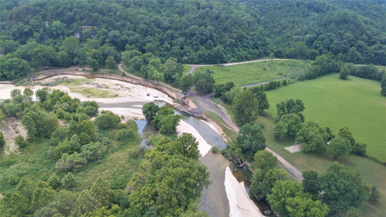
The Little Rock and Tulsa Districts of the U.S. Army Corps of Engineers, in cooperation with the Cherokee Nation, were asked to conduct a study to determine the major contributing factors to increased flooding on the mainstem of the Illinois River in eastern Oklahoma.
While there are a number of factors that can influence the severity of flooding, the cause of flooding remains the same. The more rain an area gets, the greater the chances of eventual flooding. The other factors, such as urbanization, changes in land use, and the removal of riparian buffers around the mainstem of the river all influence how water behaves when it enters the river channel.
The study - in a nutshell - determined that the increase in flooding was directly related to increased precipitation over the last twenty (plus) years. The team then worked to determine how the other factors like the increased urbanization of northwest Arkansas and the change in land use over time in Arkansas and Oklahoma affected these flood waters as they entered the mainstem of the Illinois River.
The intent was not to do a forensic review of all that has happened in the past, but to understand where we are today and look at different ways to mitigate the effects of frequent flooding on the Illinois River. Additionally, the study provides flood risk information with consistent methodologies that stakeholders in the watershed can use for their own understanding and planning purposes.
