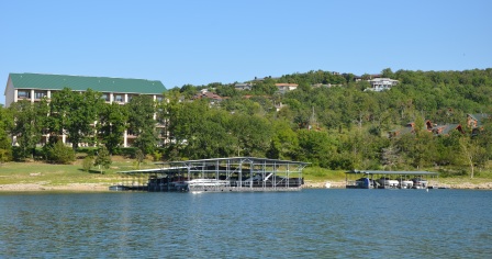
The primary objective of the Corps of Engineers in the management of the Table Rock Lake shoreline is to insure the general public full recreational enjoyment and fish and wildlife benefits on public lands and waters, both now and for generations to come. A Shoreline Management Plan (SMP) has been developed that is designed to insure maximum benefit to the general public while preserving project resources. See the links menu to the left for a map of the shoreline zoning allocation map in PDF format.
The guidelines below have been compiled in an effort to provide general information about activities permitted on government-owned land around Table Rock Lake. They outline the procedures required to apply for permits or licenses for various activities or uses of government-owned lands. Space does not permit a complete listing of all possible activities, but this discussion covers most of them. Complete rules and regulations governing public use of Corps of Engineers projects are contained in CFR (Code of Federal Regulations), Title 36, Chapter III, Part 327.