Shoreline Management
The U.S. Army Corps of Engineers manages approximately 56,413 acres of land surrounding Bull Shoals Lake. The boundary line between public land and private property is irregular and is not a set distance from the lakeshore. Most of the line around Bull Shoals Lake has been surveyed. It is defined by survey monuments placed at ground level. A 5-foot white steel fence post is set about one foot from the marker as an aid to location. Trees along the boundary line are marked with a 4-inch wide white band as an additional aid to location of the line. These trees, however, are off-line and indicate only that the line is nearby. Park Rangers are available to assist in locating boundary lines.
An application must be made to the Mountain Home Project Office for a permit before construction of boat mooring facilities, or modification of vegetation on Corps of Engineers property. When private property is bought or sold, shoreline use permits are non-transferable. A new owner must apply for a new permit to continue an existing, permitted activity. Please check with the Mountain Home Project office, prior to purchasing property bordering the government strip, for information pertaining to associated permits to determine if the activity may be transferred, or if there have been previously unauthorized activities.
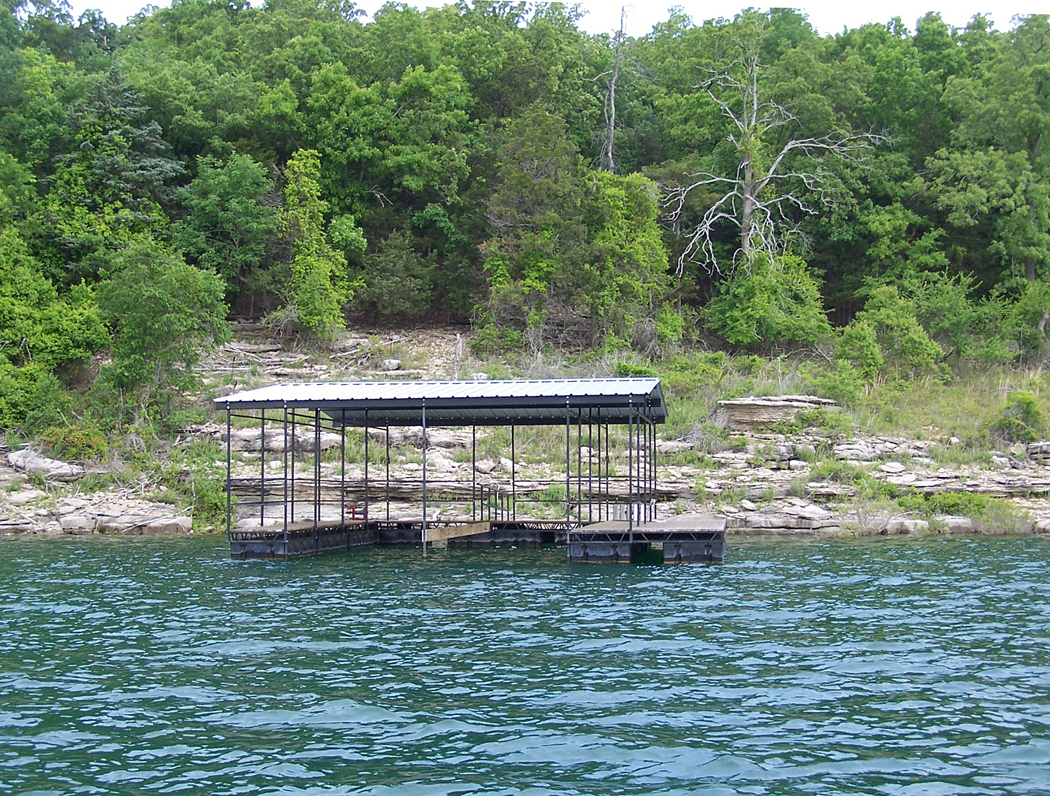
Boat Dock permits will only be issued in areas of the lake designated as limited development areas. These are indicated on a map located in the Mountain Home Project Office. Permits for paths and fire protection will not be issued in any areas allocated as public recreation areas, including their buffers, or on lands allocated as prohibited access areas.
Specific information may be obtained by consulting the Guidelines for Shoreline Use brochure or the Shoreline Management Plan located in the download section.