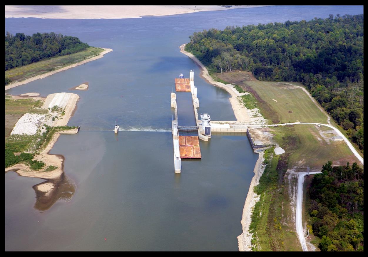
The McClellan-Kerr Arkansas River Navigation System is your waterway to the heartland of America. It was once a major avenue for exploration and later, trade in the region. Now, the Arkansas River is a major transportation route that has put Arkansas and Oklahoma in touch with the world.Heading inland, the Arkansas River threads its way past Arkansas Post, a national memorial commemorating early French and Spanish settlers. It was here, in 1686, that Henri de Tonti established the first village west of the Mississippi River. The trading post, 133 years later, in 1819, became the capital of the Arkansas Territory and prospered as a river town until the Civil War.Continuing upstream, near the present location of Lock and Dam No. 3, the Quapaw Indians gave up their remaining one to two million acres of land. In 1825, 455 Indians relocated to the Red River Valley. By the early 1900's John Gracie had established the nation's largest cotton plantation - 23,000 - acres along the east bank of the Arkansas River from Hannaberry below Lock and Dam No. 3 upstream to Rob Roy, above Emmett Sanders Lock and Dam.St. Mary's the oldest Catholic Church in Arkansas, was founded on Boyd Point, across the river from Pine Bluff, in 1833.White Bluff, just upstream from Lock and Dam No. 5, has long been a familiar landmark to river travelers. The bluff is the natural geographic boundary where the Western Gulf Coastal Plain and Mississippi Delta meet. The delta region is characterized by row crop agriculture while pine trees and upland hardwood forests dominate the gulf coastal plain.