June 2019
Greers Ferry Lake Final Master Plan June 2019<
Appendix A
Appendix B
Appendix C
Final Environmental Assessment
Appendix A
Appendix B
Final Public Workshops
Wednesday, July 17, 2019
5 pm – 7 pm
Heber Springs Community Center
201 Bobbie Jean
Heber Springs, AR 72543
Thursday, July 18, 2019
5 pm – 7 pm
Fairfield Bay Lions Club
365 Dave Creek Parkway
Fairfield Bay, AR 72088
January/February 2019
2019 Draft Greers Ferry Lake Master Plan
Appendix B Greers Ferry Lake Prior Design Memorandums and Supplements
Appendix D Land Classification and Easement Plates
2019 Draft Greers Ferry Lake Environmental Assessment
Appendix A Scoping Report
Appendix C Alternative Maps
2019 Draft Finding of No Significant Impact
ATTEND A PUBLIC WORKSHOP
Please drop in at any time during the following scheduled times:
Monday, February 4, 2019
5 pm – 7 pm
Heber Springs Community Center
Room 3
201 Bobbie Jean
Heber Springs, AR 72543
Tuesday, February 5, 2019
5 pm – 7 pm
Fairfield Bay Lions Club
365 Dave Creek Parkway
Fairfield Bay, AR 72088
** All facilities are accessible to persons with disabilities
Greers Ferry Lake Draft Release Comment Form
Greers Ferry Lake Posterboard1
Greers Ferry Lake Posterboard2
September 2017
Greers Ferry Lake Master Plan
How to Comment Poster
Description of Master Plan Land Classifications
Greers Ferry Lake Recreation Areas
Greers Ferry Lake Master Plan Revision and Environmental Assessment Comment Form
Master Plan Public Scoping Workshops:
Tuesday, September 19
4:30 p.m. – 7:30 p.m.
Heber Springs Community Center (basketball court area)
201 Bobbie Jean Lane
Heber Springs, AR
Thursday, September 21
4:30 p.m. – 7:30 p.m.
Clinton High School
489 Yellow Jacket Lane
Clinton, AR
General Information
The Army Corps of Engineers (USACE), Little Rock District, is revising the Greers Ferry Lake Master Plan. The Master Plan guides the management of the government lands around the lake. The Master plan affects future management of natural resources and recreational opportunities to ensure the sustainability of Greers Ferry Lake.
The Master Plan revision will set the stage for a later update of the Shoreline Management Plan, which is how the vision of the Master Plan is implemented. This is your opportunity to let USACE know how you would like the lake to be managed for the future.
The planning process will include an analysis of potential effects on the natural and social environment, including fish and wildlife, recreation opportunities, economics, land use, cultural and historical resources, aesthetics, and public health and safety.
About Greers Ferry Lake
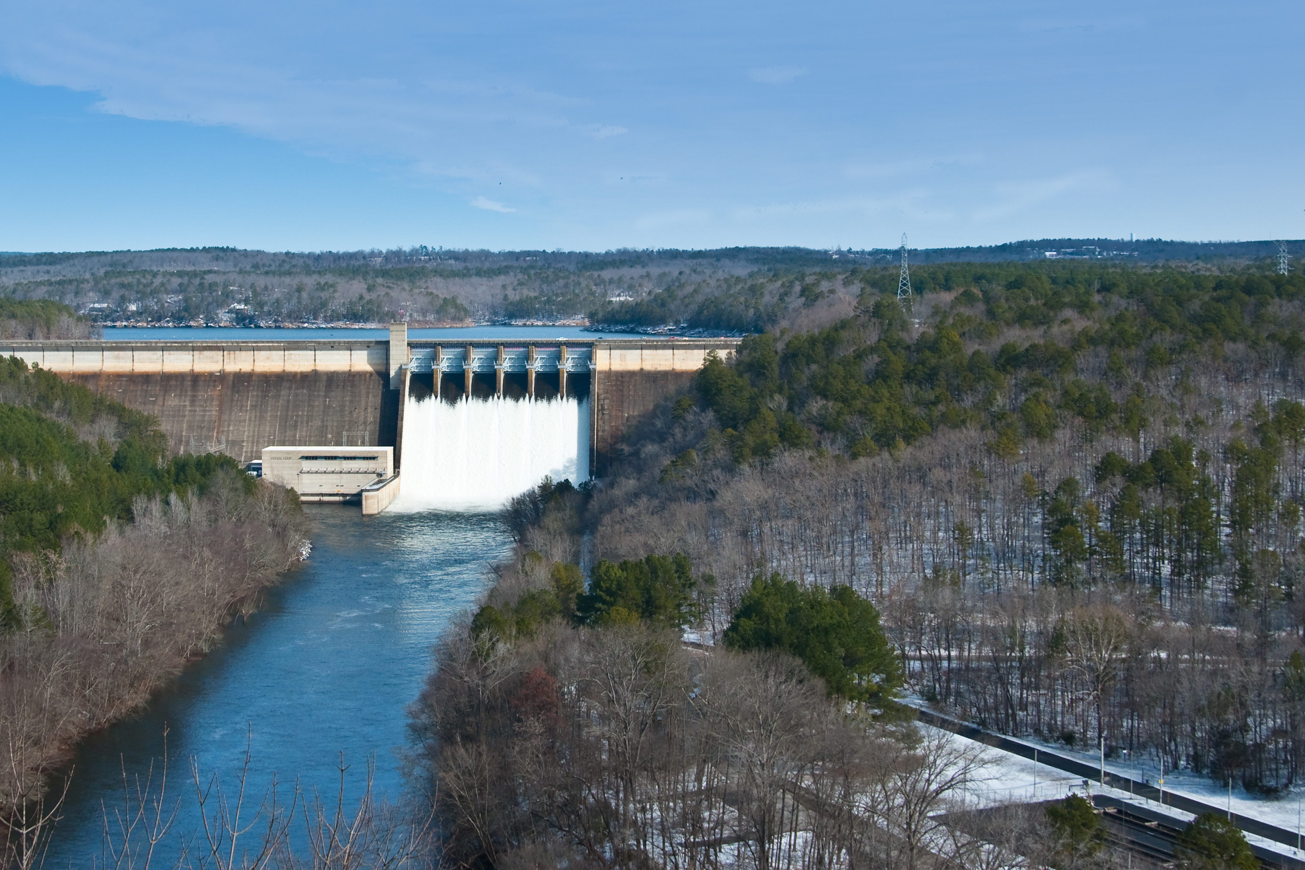
The Greers Ferry Lake Civil Works project on the Little Red River, a tributary to the White River, located within North Central Arkansas (Cleburne and Van Buren counties) was authorized by the Flood Control Act of 1938, as modified by the Flood Control Act approved August 1941.
The original authorized purposes for construction of Greers Ferry Lake were flood control and generation of hydroelectric power. The creation of the impoundment also gave rise to several benefits including water and shoreline recreation as well as forestry, soil conservation and fish and wildlife management. Subsequent legislation specifically authorized the Department of the Army’s recreational use of the lakes under its control.
Construction of Greers Ferry dam and appurtenant works was initiated in March 1959 and completed in December 1962. Construction of the powerhouse and switchyard was completed in July 1964.
The original Greers Ferry Lake Master Plan was approved in December 1961. An updated Master Plan was approved in August 1968. There are currently 27 supplements to the 1976 Master Plan.
What is a Master Plan?
A Master Plan is the guidance document that describes how the resources of the lake will be managed in the future and provides the vision for how the lake should look in the future. The Master Plan does not address the details of how and where shoreline use permits may be issued, however, it does set the stage for implementation of the shoreline management program. After the Master Plan is revised, the Shoreline Management Plan would be revised to be consistent with the goals identified in the Master Plan when funding becomes available.
Development of the revised Master Plan may include consideration of:
· Regional and ecosystem needs
· Project resource capabilities and suitability for various purposes
· Public interests and desires
The Greers Ferry Lake Master Plan Revision main goals are:
· Provide the best management practices to respond to regional needs, resource capabilities and suitabilities, and expressed public interests consistent with authorized project purposes.
· Protect and manage project natural and cultural resources through sustainable environmental stewardship programs.
· Provide public outdoor recreation opportunities that support project purposes and public demands created by the project itself while sustaining project natural resources.
· Recognize the particular qualities, characteristics, and potentials of the project.
· Provide consistency and compatibility with national objectives and other State and regional goals and programs.
Why Revise the Greers Ferry Lake Master Plan?
The current Greers Ferry Lake Master Plan was developed over 30 years ago and is currently outdated. The Master Plan revision will classify the government lands around the lake based on environmental and socioeconomic considerations, public input, and an evaluation of past, present, and forecasted trends.
Lands may be classified into one of these categories:
Project Operations: lands required for the dam, spillway, offices, and other areas used solely for the operation of the reservoir.
High Density Recreation: lands acquired for project operations and designated for use as parks or other areas for intensive recreational activities by the visiting public. New private floating facilities would not be allowed in these areas.
Environmentally Sensitive Areas: lands designated for areas where scientific, ecological, cultural, or aesthetic features have been identified. These areas are managed to protect their environmental resources.
Multiple Resource Management Lands: This classification allows for the designation of a predominant use with the understanding that other compatible uses may also occur on these lands, these additional uses may include:
Low Density Recreation: lands classified for use for activities such as hiking trails, primitive camping, limited lake access points, and other similar low density activities by the visiting public. Private floating facilities may be permitted in these areas in accordance with the lake Shoreline Management Plan.
Wildlife Management: lands allocated as habitat for fish and wildlife, and are generally open for hunting and fishing.
Future/Inactive Recreation Areas: Lands intended for recreation, but which were never developed or have been closed.
Vegetative Management: Lands designated for stewardship of forest, prairie, and other native vegetative cover.
Water Surface: For those projects that administer a surface water zoning program, this will be included in the Master Plan revision process.
Restricted: Water areas restricted for project operations, safety, and security purposes.
Designated No-Wake: To protect environmentally sensitive shoreline areas, recreational water access areas from disturbance, and for public safety.
Fish and Wildlife Sanctuary: Annual or seasonal restrictions on areas to protect fish and wildlife species during periods of migrations, resting, feeding, nesting, and/or spawning.
Open Recreation: Those waters available for year round or seasonal water-based recreational use.
These land classifications are established in the Master Plan and will guide the future update to the Shoreline Management Plan, which implements the Master Plan and provides the policies under which shoreline use permits may be issued for boat docks and/or shoreline vegetation modification.