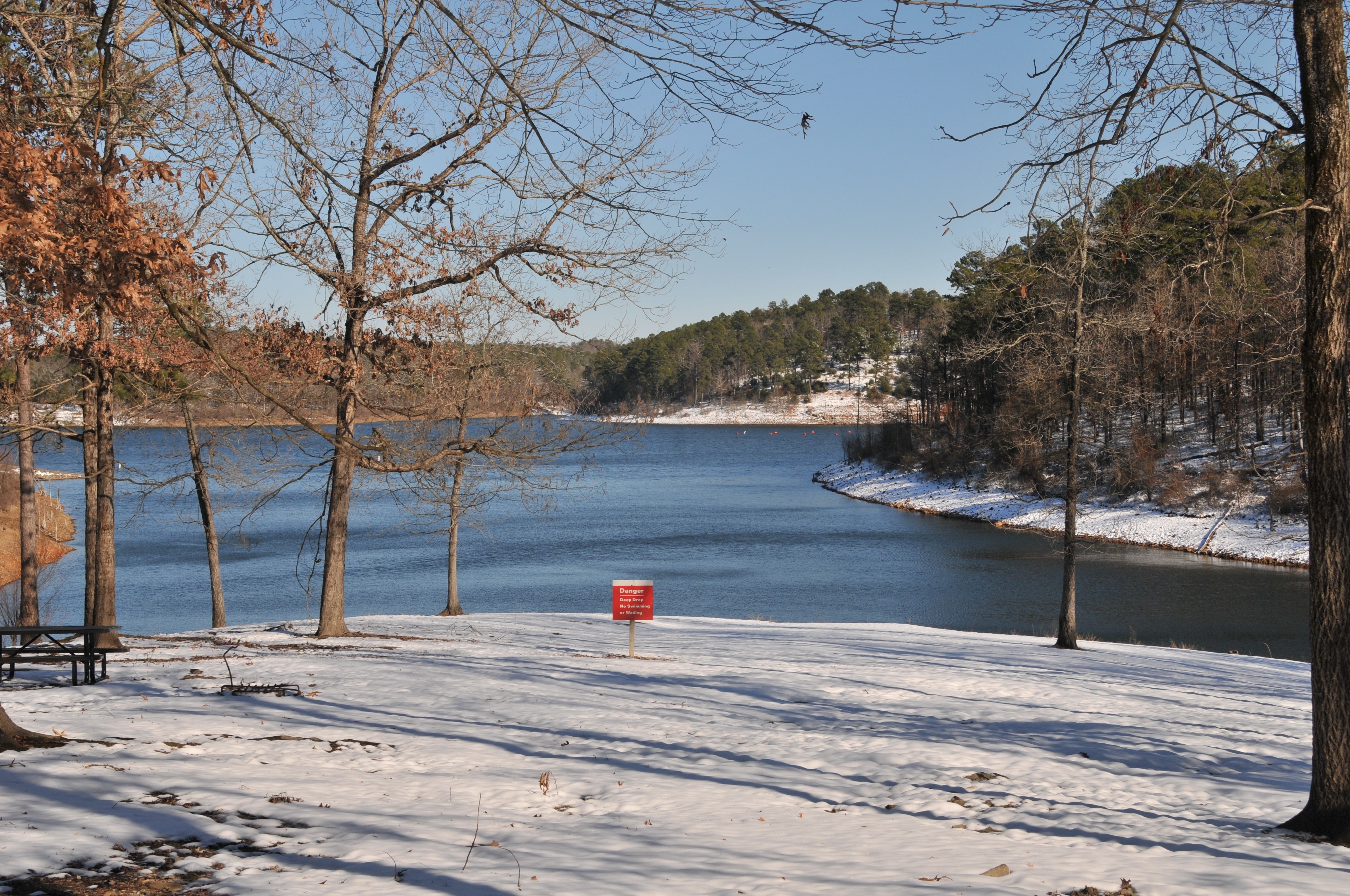
The Corps of Engineers owns about 8,700 acres of land surrounding De Queen Lake. At the top of conservation pool, 437.0 mean sea level. De Queen Lake provides 32 miles of shoreline for its visitors to enjoy. The boundary line which identifies government land is irregular and is not a set distance from the lakeshore.
Brass survey monuments are placed at ground level to define the boundary. A five-foot red steel fence post is set about one foot from the monument, between the monument and the water’s edge, to aid in locating the boundary line. Trees along the boundary line are marked with a red four- inch wide band. The band is also used as an identifying marker. These trees, however, are off line and indicate only that the boundary line is nearby.
De Queen Lake is not zoned for commercial or private boat docks.
The Corps of Engineers does not issue permits for land altercations, vegetation modification, meandering paths or fire protection on De Queen Lake.
Park Rangers are available to assist you in locating government boundary lines. The rangers can be reached at 870-584-4161.